Wednesday, April 30, 2025

Sikole to Rajac: Day 47

Much of today's walking was on roads on painful feet, but I was found a welcome bed and shower at the end of the day thanks to the helpful owners of a Bed & Breakfast.

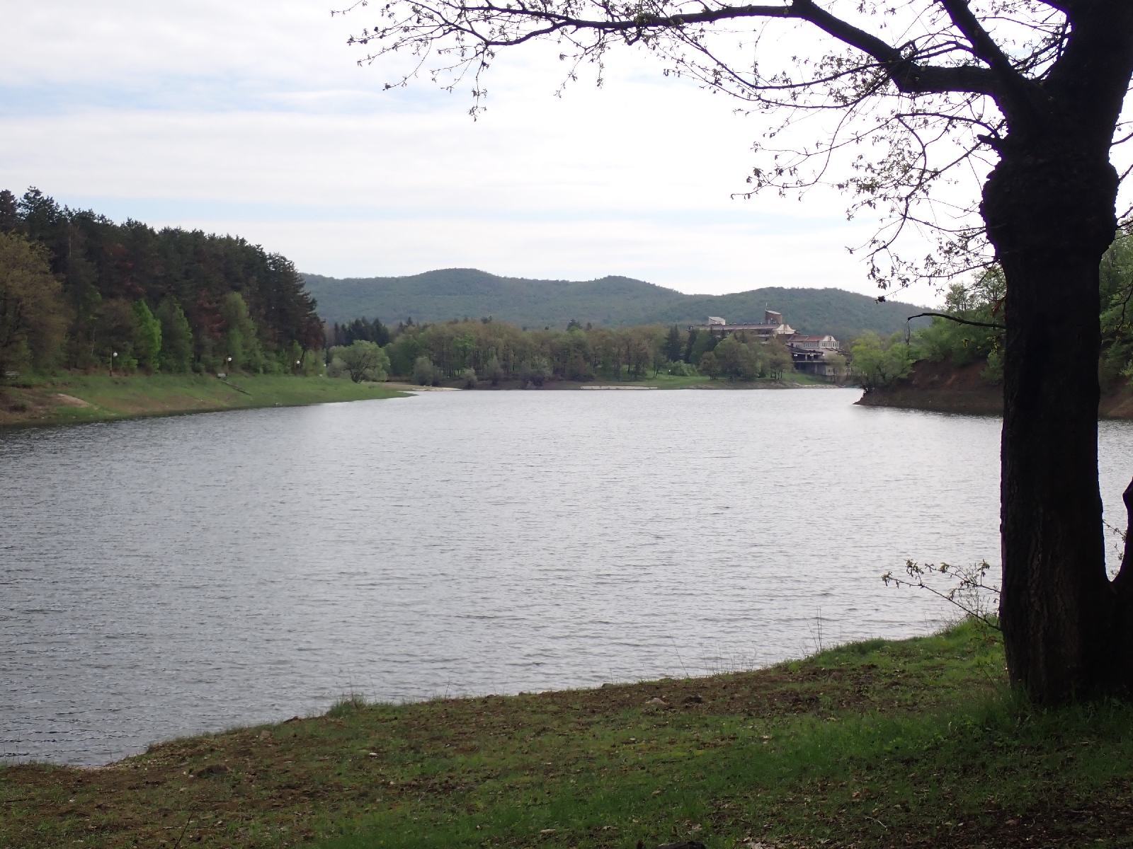
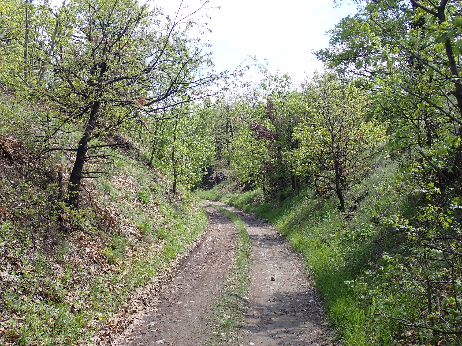
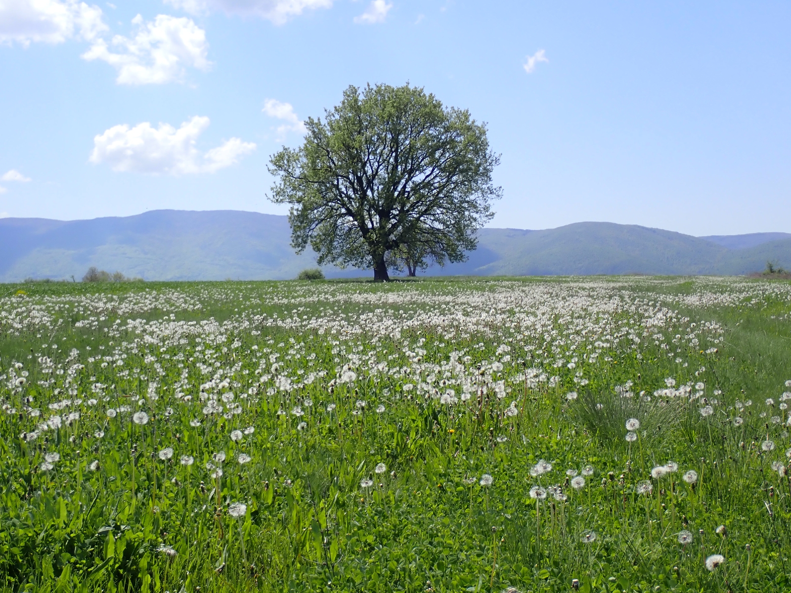
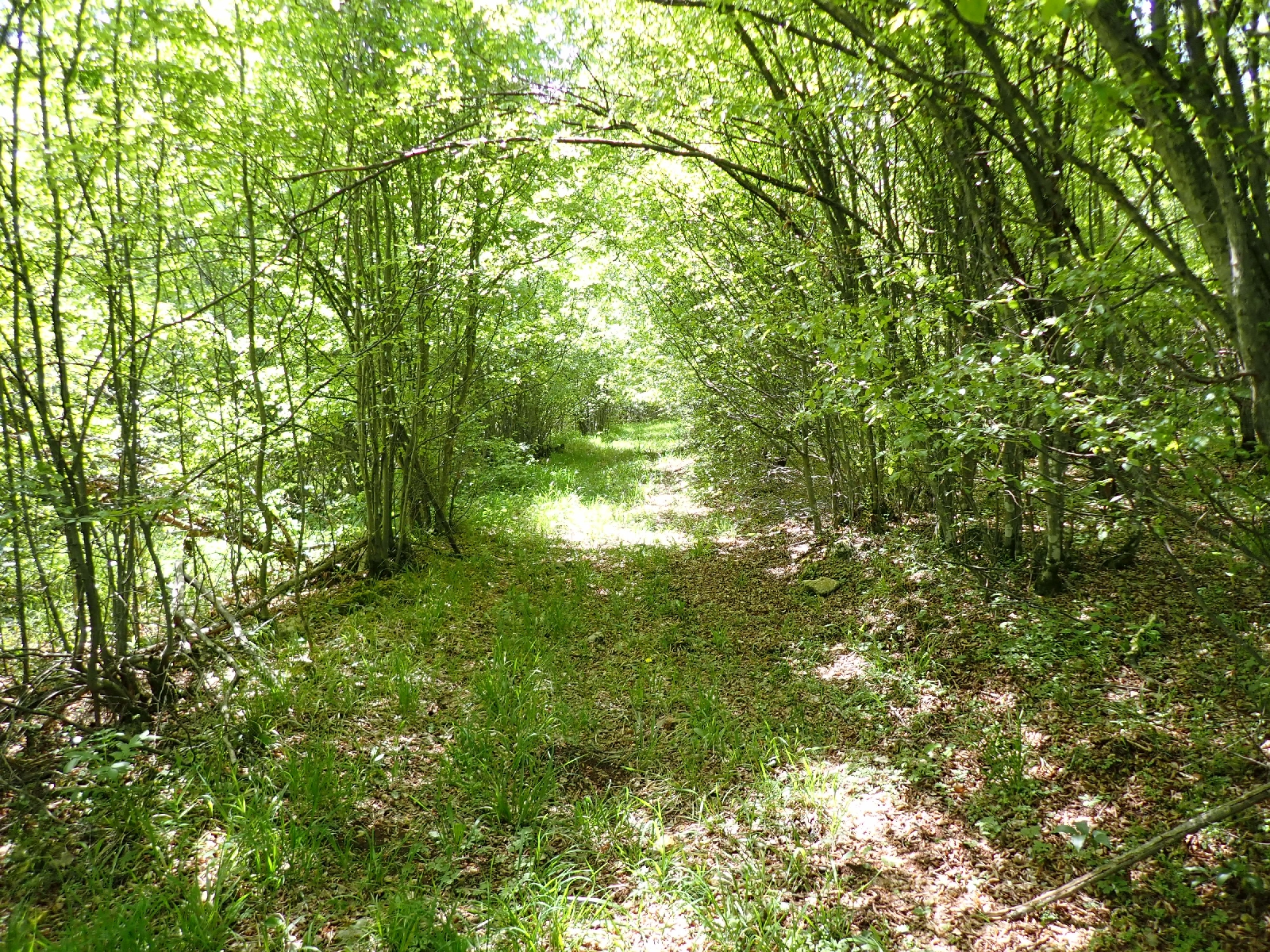
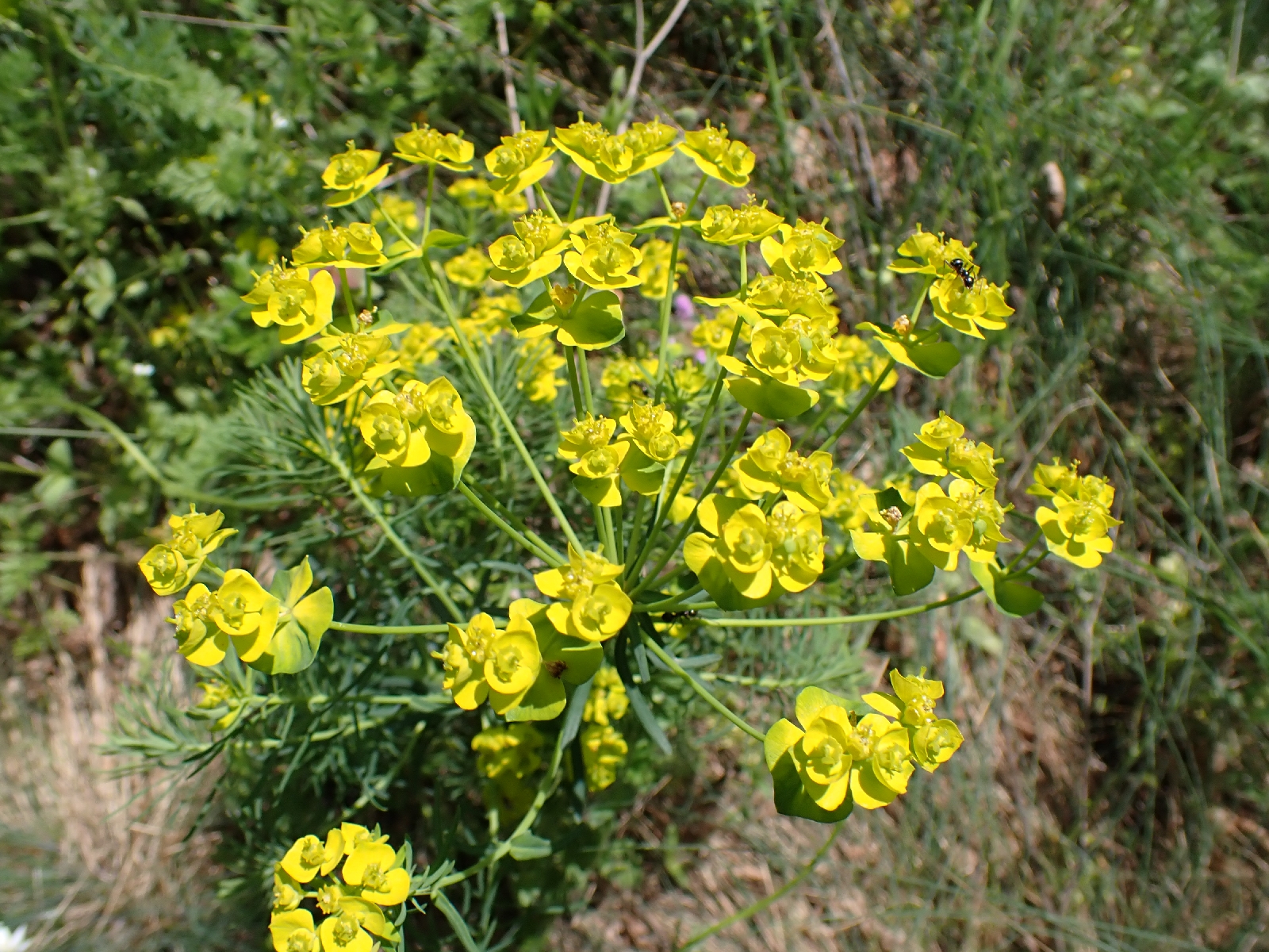
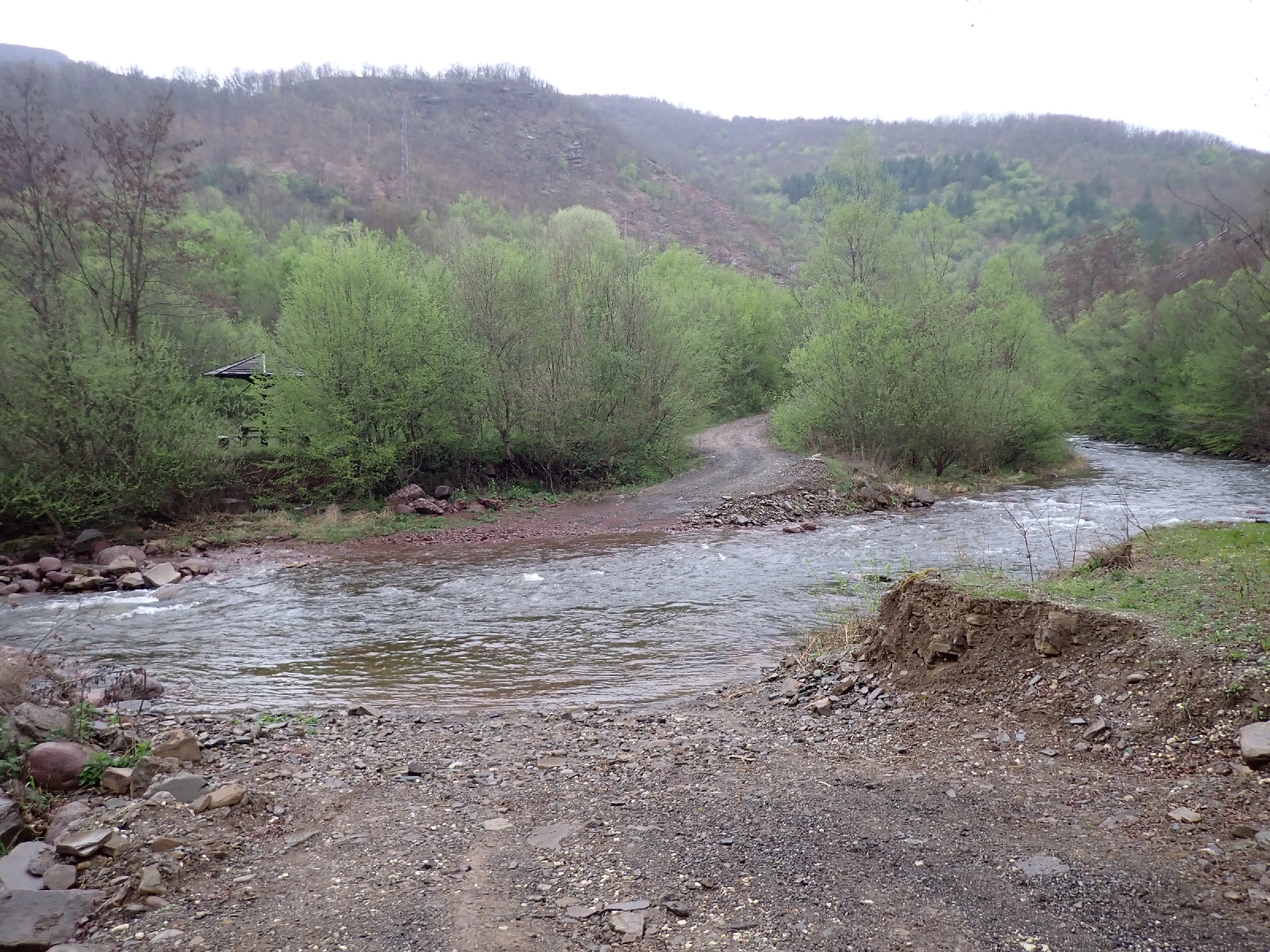
Leaving my camping spot and continuing on the track I was surprised I was so close to a gravel works. Not that it was operating while I was camping. On the trackside I admired drifts of small purple flowers on tall stems. After the mountains of my trek so far, today was flatter, the topography gently flexing to give long inclines and declines. Much of today was on roads, quiet ones except for one busier highway with fast cars and trucks. I stayed on this longer than expected as the E4 track from the Internet crossed a deep ditch with overgrown sides. Instead of risking scratches at best, I took a road route which was only slightly longer. My surroundings included farmland with recently ploughed fields, hawthorn scrub which was probably abandoned farmland, and oak woods. The latter were especially pleasing as the sun shone through the new green leaves. A buzzard or similar circled in the sky.

The road I walked along, looking back at the mountains

Crossing fields

I deviated into the village of Klenovac to see if they had a shop (they didn't) or a bin to put my accumulated rubbish. I could not find any. Other people had resorted to fly tipping, dumping piles of waste of all kinds beside the track I followed out of the village. At the next village of Tamnich I found a wire bin to place my rubbish in, although I wondered if it was ever emptied. The earth around the bench where I had stopped for a few minutes was embedded with beer bottle tops, a favourite place for local drinkers it would appear.
I continued on to the village of Rajac, a railway line beside me for a while. My feet were suffering. On each step the pain moved from my heel to my sole to my toes as I hobbled along, as if I was walking on a bed of nails. On uneven ground, when the sides of my soles contacted the ground there was an additional source of pain. Consequently, although I hoped to complete a few more miles I gave into my weakness and asked at a Bed & Breakfast (Villa Milenovic) where I stayed before if they had a room. Although they were full, a party from Slovenia was due soon, they gave me a cup of coffee and arranged for me to stay at a house rented by another couple. The couple had developed a new winery in the village, she was Serbian and he was English, or maybe Irish. Their business ventures must be bringing new life to the village that would otherwise decline like many others as people move away for work. The house I am staying in is rustic: brick floors, old furniture, old photos and mirrors with wonky reflections. Attached to the building was a wooden enclosure, maybe once a barn. When I arrived I was amused to see a lady strimming the lawn while a man stood by. Typical! They then both sat down for a can of beer each.
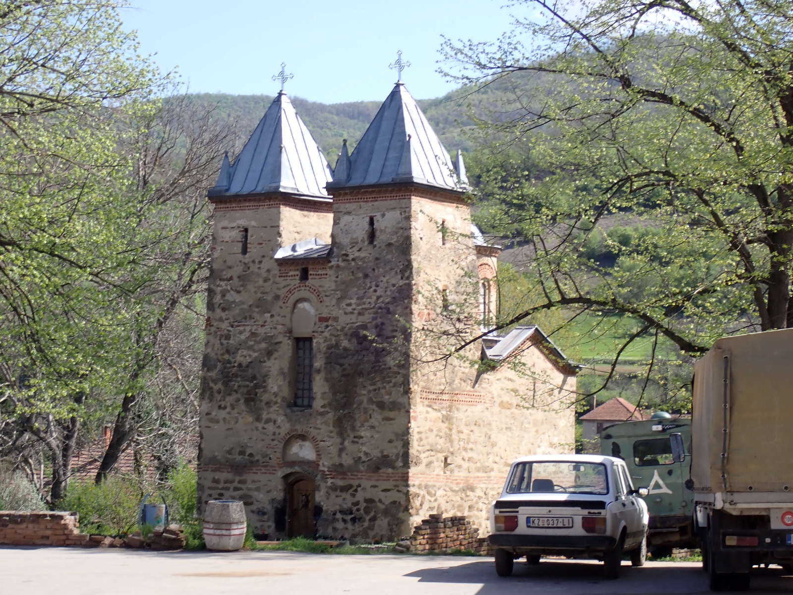
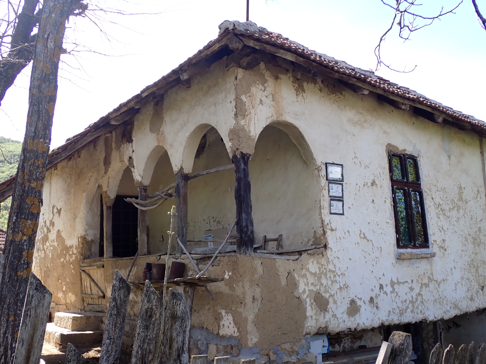
The really nice, helpful couple at Vila Milenovic also booked me dinner at an Ethno Restaurant. However I soon realised it was at Rajačke Pimnice, about a kilometre uphill from where I was staying,  not ideal after a long day walking. Nevertheless, I wanted to visit the place and doing so this evening will save time tomorrow. Pimnice are buildings where wine is stored, and probably fermented as well. There are many of them grouped together up the hill from Rajac. A fair number are now abandoned which implies there was a much larger wine industry in the past in the area. The pimnice are characterised by entrances with a simple, semi-circular arch. An architectural feature I began to see in Sithole yesterday. 

Rajačke Pimnice

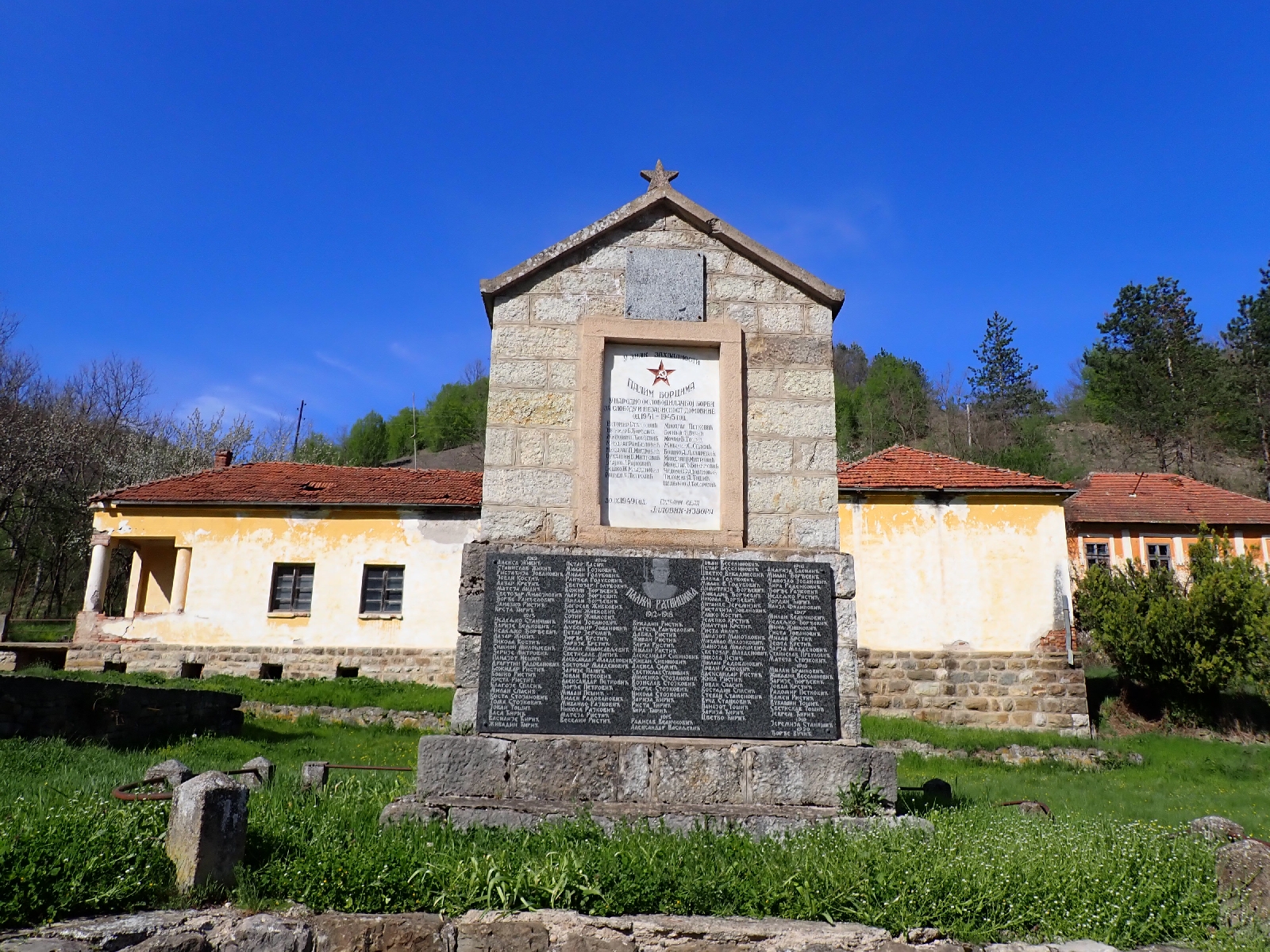
I mentioned them in the blog of my previous trip and a comment was made that there was also an ancient cemetery by the pimnices. I went looking and found a mixture of new and clearly much older gravestones. The modern ones have pictures of those who died, a local practice. The old ones in sandstone have crosses and symbols carved in them, some looking like suns. They have little or no writing on. My landlady told me they were not necessarily Vlach (an ethnic group in the area) as I had been told, and that little research had been completed. She said they were applying for UNESCO listed status, which would certainly increase visitor numbers. The European Union has contributed to upgrading the paths and lighting.

Old gravestone at the cemetery at Rajačke Pimnice

I was not sure what to expect for my meal due to language difficulties. It started with cold pork, cheese, cucumber salad, hot chillies, bread with rakya and progressed to minced meat in cabbage leaves and something like Mexican refried beans with a glass of wine. A trio of small dry cakes ended the meal. Suffering today improved the enjoyment of both my meal and my bed tonight.

Tuesday, April 29, 2025

A hill after Krivelj to after Sikole: Day 46

Today's highlights were climbing Veliki Krs and reaching Sikole before its shop closed.

Veliki Krs was a distinctive ridge, its spine rising up from the east. Last time I was here I failed to climb it as I was unable to establish where the route down on the other side was. A disappointment. Now that Waymarkedtrails.org has published a route all is clear. The path is not where the guidebook, "Rambling in Serbia" implied. So this morning I climbed up a narrow path which took an oblique route up the south side of the ridge, starting from the eastern end. I was fortunate that in addition to occasional red and white waymarks, frequent fragments of faded caution tape had been tied around the branches of low trees and bushes. Where I missed one on a small, stony area lacking bushes, I was soon struggling, faced with impenetrable bushes of lilac and, even worse, thorny hawthorn. Forced to retrace my steps I eventually spotted a faded strip of plastic in a place where there did not appear to be a path until you were really close. Just coming into pale purple bloom the lilac looked wrong growing on a Serbian mountainside rather than in an urban English garden. When I stepped on more rocky ground, the herbs between the stones released a fragment smell, reminding me of the scented packets of herbs sold for ladies pillows.

Waymarks on the path up Veliki Krs

The E4 does not go to the summit of Veliki Krs and nor did I. On the crest of the ridge I sat and ate a late breakfast while admiring the views of mountains I had crossed and those yet to come. To the east there was extensive open cast mining and smelting for copper, around the town of Bor. Considerable care was needed to descend the steep north side of the ridge where in places the path headed straight down. If the earth had been wetter I would certainly have slipped, bruising my bottom on the many rocks. Tree roots acted as steps in places, or else tried to trip me. Eventually the gradient of the path became a little less, although not by much, and I was relieved to reach the valley bottom.

View from Veliki Krs

However I had two more ridges to cross. Neither as challenging as Veliki Krs but on the second ridge, the cliffs of the mountain of Stol rose dramatically to my right as I crossed at a wide pass.

Stol is the mountain on the right

For the remainder of my day I alternated between farmland and low trees as I made slow but steady progress. The sun and blue skies were very welcome, finally drying out my boots. However the heat made me worry about water supplies in the dry limestone landscape. I was drinking heavily without peeing so dehydration was a concern. My plan was to collect more water at the village of Sikole, but had nothing to confirm a drinking fountain or an open shop existed there. My route moved off limestone into an area of coarsely crystalline rock, its black crystals glinting in the sun where the rock was broken and used to reinforce the track. Evidently impermeable soon after there were a number of streams crossing the track. I collected two litres of stream water in my plastic bladder from one of these and added a couple of water purification tablets as I was unsure of its quality. As it transpired I found a shop at Sikole and bought three litres of mineral water which I used instead of the stream water which tasted of chorine from the added tablets. I sat outside the shop and enjoyed a Coke, crisps (feeling in need of salt) and chocolate, watching a succession of old, red tractors return home for the evening.
A few kilometres after the village, having completed 30 kilometres, with my knee and heels complaining I picked a spot for my tent among scrubland that no-one appears to care about judging by the fly tipping. I avoided the areas desecrated by dumped rubbish and found a good, flat spot among a cluster of trees, an improvement on recent pitches. There is a building in the distance, but it looks abandoned.

Monday, April 28, 2025

Woods before Borsko Jezero to a hill after Krivelj: Day 45

Highlights today were refreshments at Borsko Jezero and Krivelj!

After struggling to decamp on the slippery slope avoiding tree branches, my next challenge of the day was to climb over Tilva Njagra. Mature oak and beech covered this hill, obscuring any view, although they were pleasant in a green sort of way. On the other side of the hill was Borsko Jezero, a reservoir fringed by trees and walkways. There was a hotel (where I might have stayed if I had managed to walk further in the last two days), holiday homes and at least two cafés, both closed. The place looked more run down than I remembered although people were out cutting the grass and keeping it tidy. Near the end of the town I found a campsite, mainly static caravans and huts, which had a shop where I indulged in a Coke and ice cream.

Borsko Jezero

Track along the bed of an old railway line

There followed a complex route, around the lake, up a hill, along the bed of an old railway line, down roads and across fields. One section, using the route from Waymarkedtrails.org rather the one I walked before, ended at a farm. An older man, missing a few teeth, was picking dandelion flowers. Despite language issues he established I was headed for Krivelj and led me through his outbuildings, upsetting the dogs who barked loudly, and pointed out the right track. On learning I was walking to Krivelj he asked "why". I could not think of an answer so just shrugged my shoulders. 
On reaching Krivelj some hours later, I concluded it was time for another Coke and chocolate. The shop keeper spoke good English. I remembered him from my last visit, although he had moved across the road to a larger, but still small shop. He topped up my water bottle for me before I climbed the road out of Krivelj. I then had a dilemma. Facing me was the mountain of Veliki Krs, the next milestone on my route. Rising steeply to 1060 metres I could conclude from the tightly spaced contours on my GPS map that there was not going to be a flat spot suitable for camping once I started climbing. Lacking time and energy to reach the top and descend the other side, which was even steeper, I decided to camp early after 29 kilometres of walking. A nettle filled valley among woods seemed the best place to camp. At least it was flat and there was a stream for washing. After trampling down a lot of nettles I erected my tent. It is a bit lopsided as the ground is uneven but it will do for the night.

Sunday, April 27, 2025

Bogovina to a wood before Borsko Jezero: Day 44

Although little rain today it was a wet day nevertheless to see the Lazarev Canyon.

From the heavy rain last night my tee shirt, underpants, trousers and socks were all wet. Yesterday I squeezed as much water out of them as I could but they were still soaked this morning. I had hoped for a sunny day to help dry my clothes but the morning sky was grey and overcast and remained so all day. A little light drizzle was falling during the morning. Wanting to preserve some dry clothes I had no alternative but to put on my cold, wet underwear, socks and trousers. I left my tee shirt in my bag until later and put on my fleece, which I had not been wearing in the rain yesterday, so at least I had something dry and warm on around my "core". Then I added my "waterproof" jacket, wet but not holding the water which slid off in drops. I headed off, the wet vegetation making my trousers wetter still. Diverting off the route slightly I went to the shop at Podgorac which I had visited on my last trip. I had not expected it to be open being Sunday but three men were drinking beer outside the wooden shack that housed the shop. I went in and bought a can of cold latte, chocolate and water. Although not essential purchases, it gave me a morale boost as I felt more in control, and chocolate was a treat. Then I followed the E4 route to the mountain of Veliki Malinik. A long, steady, uphill walk on a good track through trees. There were a few fire salamanders on the track, sluggish with the cold, they would only move away slowly if I approached. 

Fire Salamander

Near the top three 4 x 4 vehicles were parked with men standing outside, noticeable as I saw few if any people away from towns and villages. Maybe a hunting trip. I did not approach as the E4 went around the summit of Veliki Malinik to the south. Following the ridge east I stopped by a picnic table to see the Lazarev Canyon from above. The weather was not ideal to view this long, deep, irregular gash through the green landscape, the ragged cut exposing cliffs of the grey limestone, beneath the thin skin of vegetation. The thin path down to the second viewpoint was more difficult and tortuous than I recalled, overgrown, with fallen trees to negotiate. The lower outlook was more popular. There was a group standing on the rocks above the tall, vertical cliff on the edge of the gorge, listening to a guide.

Lazarev Canyon

Lazarev Canyon

Nearby a crude building housed a place selling food and drink. A new facility where I bought a late lunch of meat, potato and carrot stew served with cabbage salad and bread. Dessert was two pastries similar to scones with the jam baked inside. Replete, as I left a group on ATVs (All Terrain Vehicles) roared down the track. From the outlook it was a good track and path down to the bottom of the valley. There is a show cave at the end of the canyon but it was closed.
Roads and tracks through farmland took me north. The telegraph poles were intriguing, made of irregular tree trunks they looked very flimsy. I had hoped to reach Borsko Jezero, a reservoir and tourist resort, but I was not going to make it tonight, so around 6 pm after walking 11 hours, I turned off into woods to find a spot to camp. A flat spot was difficult to find so I made do with a small patch, less sloping than the rest. There was no phone signal so I used my satellite communicator, new this trip, to send a message to my wife confirming I was OK.

Saturday, April 26, 2025

Rtanj to Bogovina: Day 43

Two challenges today, first I was blocked by an unpassable path, second, I was drenched by torrential rain.

Lilac growing beside the track

After a substantial breakfast with spirals of flaky, cheesy pastry I set off to follow the published E4 route on waymarkedtrails.org and various Apps. This crossed a tree covered ridge. Initially progress was good but degenerated. Much of the track had been turned into a ditch filled with last year's leaves, the result of erosion by water. Fallen trees made additional obstacles. Then the route took a "path" to the left. Clearly no-one had used this route for many years as it was overgrown and progress was difficult. If there had been a hundred metres to push through I would have found a way around, but there was over a kilometre to what the map claimed was a bigger track. In addition, the maps indicated that there was no path or track at all later on. I decided to retreat and follow a route along roads and larger tracks to the town of Boljevac. This deviation took me to the west of the ridge, through a quarry and the village of Mirovo. At Boljevac I stopped for a coffee and bought a pastry containing two types of cheese and ham for my lunch. After this small town, tracks and gravel roads took me north. I passed the domed kilns made of brick used to make charcoal.

Charcoal burner

Impending rain

This morning the sun had shone, but after lunch black clouds gathered. Thunder boomed and rippled around the hills and I could see the slanting gray streaks of rain falling in the distance. It seemed a pattern that thunder and rain was more likely in the later afternoon. I hoped the storm would stay away from me and initially it did, but then it changed its mind. Lightening began to strike near me, the loud crack of thunder closely following the white flash of the electrical discharge. On occasions I could see the lightening forks reaching the ground or crossing between clouds. I was glad to be among trees which might not give complete protection against lightening but was better than being exposed in the open. The rain, which started as a few spots, turned torrential transforming the track I was on into a muddy river. I took shelter for a while among trees, which provided little protection, nor did my waterproofs. Despite rain jacket and over-trousers my tee shirt and trousers were soon soaked and my underpants followed. Water filled my boots. I lost concentration on my navigation, missed a turn and had to retrace my steps. The air temperature was dropping fast and my wet clothes made me very cold. As there were clearings in the woods I decided to pitch early at 4:30 pm. Once out of the rain in my tent, I pulled off my wet clothes, wrung out as much water as I could, and snuggled into the dry warmth of my sleeping bag. The rain and thunder eventually stopped and the birds have begun to sing. A dog is barking and I can hear voices but doubt I will be disturbed on such a wet evening.

Friday, April 25, 2025

Sokobanya to Rtanj: Day 42

High point of the day was climbing to the top of Šiljak, the summit of the Rtanj mountain range.

A field of Dandelion clocks

My route out of Sokobanja led to an overgrown track through low trees, where I had to push through thorny bushes. I slightly regretted not taking the route along roads I followed previously. However I withstood the challenge, finding my way and after a few kilometres the tracks became easier to walk along, running beside cultivated fields and grassland, moving in and out of trees. The pyramidal peak of Rtanj rose in front of me but first there was a ridge to cross climbing along barely visible paths.

Rtanj in the distance

Red and yellow waymarks indicating the E4 appeared a few kilometres out of Sokobanja giving me confidence I was picking the right tracks to follow. In a valley I passed a shepherd driving a dozen sheep across a meadow with his black dog. After crossing the ridge at a saddle the track led me down to a group of buildings. Music blared from a van but I could see no-one. A sign advertised a restaurant and camping but the surroundings made this seem improbable. A long, steep climb followed to the highest point of the range, a summit called Šiljak. My steps released an earthy, herby smell from the plants I crushed beneath me as I struggled up the mountain. On the lower slopes there were lilac bushes about to bloom. Higher up among the rocks, the bushes disappeared. There were plenty of flowers, some I recognised; cowslips and grape hyacinths, and many others I did not. Due to their variety and profusion it is a Special Nature Reserve. Some believe that, with its pyramidal shape, the mountain is a source of "special energy". After reaching the ridge a path led around outcrops before zigzagging up to the top at 1565 metres high, where there were the ruins of a chapel. In the middle of the stones there was an Orthodox style cross with bangles and other items at its base.

View as I climbed

View from the top looking down on Rtanj village

I reached the peak latter than expected so had to hurry down to the village of Rtanj, followed by a dog. Fortunately not a stray dog, it was obviously well cared for, its long fur was not matted. He left me at a cabin. Near the bottom a lad, who had walked down the mountain ahead of me, asked for some water, but like him I had run out, the tiring climbing in hot weather making me more thirsty than normal, and there were no springs in the dry limestone landscape today.
Rtanj village looked more prosperous than I remembered when I passed through last time. People were walking around, mowing lawns and selling herbs and honey at roadside stalls. At Pansion Radgost a lot of people were about. A party of neighbours and friends were getting together for a meal. The lady organising the group also organised me as the staff were busy in the kitchen or mowing the grass. Not only did I have chicken and mashed potatoes for dinner, but the group on the large table also gave me cold pork, and a portion of salad. Typical Serbian food I was told, Serbian hospitality for sure.

Wednesday, April 23, 2025

Rest day in Sokobanja: Day 41

A day completing chores and resting my legs.

I was fortunate that today was a rest day as heavy rain fell and thunder echoed around the hills behind the town. The day passed quickly, washing clothes, shopping for supplies, answering emails, catching up on my blog. As B&B Nataly had a Spa, I visited the pool, which although too short for proper swimming at least gave me the opportunity to exercise muscles different from those used for walking. I did of course manage a coffee and chocolate orange cake. I looked for a shop to buy a local SIM card to allow Internet access without the need to find WiFi, but the town appears too small to support a phone shop. Looks like I will be on Internet "Detox" on my days camping.

The main pedestrianised street in Sokobanja at night

A hill after Beli Potok to Sokobanja: Day 40

A day crossing flower filled, limestone grassland and tree covered hills ending at the tourist town of Sokobanja.

Over night I heard animals stepping around my tent and munching. I had heard a stag bark earlier so assume they were deer. I left them in peace and they did the same for me. I left my pitch at 8am and followed the route I downloaded from the Internet for the E4. Differing from the one I took seven years ago it led along winding paths through the woods to the north, whereas I had followed more open land to the south. Yellow and red stripes and circles appeared on trees soon after my camping spot. These were the Serbian waymarks for the E4 and joined the red and white markings used for local paths, both new since my last visit. I liked the open spaces, the limestone rock peeping through the soil, surrounded by yellow and blue flowers. Further away mountain ranges spread across the horizon. White clouds filled one of the valleys below me. A cuckoo sounded.

Limestone outcropping at a high point.

In the woods I was glad of the red and yellow stripes that led me on a circuitous path, overgrown in places. Amongst the trees I passed a well, enclosed within a tiled red roof and wooden trellis, but who collected water here, there was no sign of any building nearby? Finally, the route reached the highest point on the range I was following, Čaplijnac at 1187 metres. I balanced on the rocks at the top to take of photo of distant mountains before descending down into meadows. There was then a final challenge, a climb up to the steep sided peak of Ostra Chuka. A couple were on top, taking pictures, the first people I had seen today. A sign I was leaving the remote area I had been crossing for the last two days and joining tourist trails around Sokobanja.

From the top of Ostra Chuka, dark clouds gathering that would soon turn to rain.

A long descent ensued as the path rapidly shed height. Not easy on my knees. The latter parts were of more mature forest with some tall beech, rather than the hawthorns I had been walking among this morning.

A rather nice orchid among the trees. 

At Sokobanja I entered a town quite different from the places I had visited so far on this trip. A well kept, tourist town with families walking along the pedestrianised main street, the smaller children either insisting their parents carry them, or wanting an ice cream. After a coffee and cake I found my hotel and settled in. Then I wasted a lot of money phoning my wife on the mobile network rather than using WhatsApp on the hotel's WiFi. I guess I was tired, due for the rest day I have planned for tomorrow. 
I am now sitting at a restaurant, outside beside the main drag people watching, stuffed after eating too much.

Tuesday, April 22, 2025

Knjazevac to a hill after Beli Potok: Day 39

Trees, thorny bushes and flower filled meadows today.

I was again unable to eat everything offered for breakfast (eggs, bread, cheese, cold meats, yoghurt, jam and a sort of cheese and potato pancake). Wisely I did not try as I had a hike to complete and an overfill stomach would not help. The first part was on roads, a busy one leaving town, then onto a quiet minor road through a few small villages. One of these had a small shop, so I bought a Coke to drink outside in the sun where two men with beers were having a friendly argument. The lady shopkeeper, lacking any custom, came out and joined them, contributing a few comments to the discussion. Her tee-shirt had the word "Romance" emblazoned across it and I wondered who the message was for.
The road turned into a track, which became two furrows in the grass after crossing a railway line. My path branched off to the left but there was no break in the vegetation where it should have been. I pushed through bushes guided by my GPS and found the track where it rose through low trees, their shade suppressing excessive undergrowth. A long climb followed, with one good view at a rocky promontory where I could see back to Knjazevac and the Stara Planina in the distance. 

Looking back to Knjazevac

Path through trees

After the trees thinned I entered a high flower-filled meadow. The stony ground was covered in buttercups, white petalled Star of Bethlehem, and profuse yellow flowers from what looked like a low lying form of broom. Plants that looked like peonies were also common, their fat, spherical buds had yet to open but dark red petals were just showing. A meadow might not have been the correct term as the flower filled grassland was on high ground with views of surrounding mountain ranges becoming increasingly pale the further away they were.

Cyprus spurge, found among the trees rather than on the open grassland.


View of distant mountains from the high, flower filled pasture

My route then followed a track through trees, overgrown in places with thorny bushes hindering progress until I thankfully reached a quiet road, on which I walked a long way, broadly downhill. My mouth was dry with the heat. Drinking tepid water from my bottle, warmed by the sun, was not refreshing. Providentially I passed a piped spring which supplied me with cool, fresh water. A tractor stopped, the driver filling up his water bottle from the same spring, so I assumed it was wholesome, it tasted lovely. He offered me a lift on his trailer, which I declined, not only because I am on a walking expedition, it also looked a decidedly risky exercise balancing in the beams designed to hold trees.

The piped spring the red star a sign of earlier socialist times.

A snake was sunning himself in the road, I have seen a few, this one plain brown others with a brownish yellow diamond patterns. There were also brown and green lizards and I have seen a fire salamander, easy to identify with its yellow spots on a black skin. As I stride by small creatures often scurry away, I do not see them, only hear the rustle of the undergrowth being parted. In woodland sections there were plenty of small red and black beetles, often two joined together. On grassland I see more big, black beetles. Once upturned they have problems righting themselves. I have occasionally helped to put one the right way up with gentle pressure from my boot.
My road walk ended in the village of Beli Potok, with the usual red roofed houses in various states of repair. There was then a climb back up to the plateau. I was apprehensive as I had previously placed a "waypoint" on my GPS at a point where I lost the path. The track did indeed peter out among thorny shrub, wild rose and small hawthorn trees. I had to find a way through, looking for gaps between bushes where I would not be snagged too badly by vicious thorns, going around expanses of blackthorn in white flower, while trying to approximate the route on my GPS. Eventually I reached two abandoned farm buildings. A calendar on the wall inside the one that looked built for human occupation was dated 2012. The land around here must once have been farmed. There are remains of old stone walls and I have seen terracing in similar places. The track seemed a little better after the old buildings. After following it a little way, having reached my planned distance, I set up camp on a patch of grass, sheltered by bushes from the wind that had blown up. Black clouds filled the sky and distant thunder grumbled. I could see vertical grey smudges of rain falling on the horizon, so I was keen to pitch in preparation for any rain reaching me. I was sad that erecting my tent squashed so many flowers, especially the blue grape hyacinths, but as they were everywhere it was inevitable. Tired, I was glad to rest my legs inside my little, nylon house, eating my rations and contemplating what tomorrow might bring.

Monday, April 21, 2025

A hill to Knjazevac: Day 38

A walk through woods in sunshine, a medieval church and difficulties with accommodation. 

A beautiful morning in the hills

Although I started early from my mountain top camping spot, the sun was already climbing up the sky. Walking across high ground, where trees and bushes were not so dense, I could enjoy the panorama of wooded hills and distant mountains. After scattered buildings with patches of pasture there was a long descent down a valley where green and brown, from the trees and track, dominated my vision.
This section ended in the village of Donja Kamenica, where my arrival on its outer edge was announced by furious barking. The canine cacophony continued as I walked down to the village centre, with one or two dogs following me, while three others rushed by in the opposite direction to address some pressing doggy matter. I stopped at the church. Unlike on my last visit the door was open so I escaped the dogs, and entered the cool of the ancient building. Dating from the 14th century the Church of the Holy Mother of God has wall paintings of a similar era, now dull with age. A small church in typical Byzantine style in the shape of cross with a dome at the centre. The twin towers by the entrance were more unusual for this type of building. Although Dinars had been put under the icons placed on a pedestral, a notice asked donations to be put in a box instead (which was where I added a few dinars). On leaving the church I admired the decorations on the small window set in the door. These included painted eggs, traditional at Easter in this part of the world.

Medieval church in Donja Kamenica

Inside of Holy Mother of God church showing ancient Fresco of the Last Supper

Decoration on the door of the church celebrating Easter

While I was in the church the dogs had wandered off. There were a few people around with whom I exchanged "Dober Dans", mostly older in age although there was one young family playing a ball game in the square. A man had recently hauled some felled trees into the village, pulling them along the ground behind an old tractor. I had followed the marks they left on the mud and stone track as I walked into the village. Cut logs were piled beside the road.
After topping up my water from a pipe below the war memorial I continued. Inevitably it began with a long climb up through trees. On the higher ground I found a number of small orchards in some stage of blossoming. Apples I assumed, they looked well tended, one man was busy pruning, another spraying.
Žline was a village with a few smartly painted houses among those suffering from age. After passing through there was a long road walk on the E4 before I turned off on a busy road to the town of Knjazevac. 
I had booked an inexpensive apartment in the centre and needed to communicate with its owner to gain access. Due to prohibitive costs and other limitations I could only exchange messages where there was WiFi. Consequently I settled in a café, ordered coffee and cake and sent a message to the owner on WhatsApp, which seemed his preferred medium. He replied telling me to message again at the address of his apartment. I explained I could not do this as I needed WiFi. He replied that was my problem! It seemed he could not give me a time to meet him at the apartment so in the end we agreed I would find another place to sleep. Although I am sure my lack of the local language and Internet access was frustrating, I have never encountered a less helpful owner when booking places. A local hotel, which did not take bookings online, had a room at a reasonable price and a lady who spoke English. I feel I am better off here where the staff are happy to welcome me.


Sunday, April 20, 2025

Balta Berilovac to a hill: Day 37

A walk over wooded hills with a little high pasture and a few settlements.

I was served a filling breakfast of fried eggs, peppery sausages, bread, soft cheese, tomato paste and jam. I decided not to eat the beautifully painted eggs also put on the table, an Easter tradition. Three other men were also having breakfast. I wondered if they were Russian as they greated me with a "preevyet", but then the Slavic languages are all similar to a degree with words in common. Although the breakfast was tasty, it hung heavy on my stomach as I climbed up the first wooded mountain. Progress was slow with frequent stops.
Seven years ago, lacking a published GPX track file or a useful map, I worked out a route based on a guidebook not detailed enough for navigation, and Google Earth. The route I came up with based on the tracks I could see from the satellite pictures on Google was incorrect, and I was forced to turn back and take a long road route. However today,  following the path that was subsequently published over the first ridge of the day I discovered I had been within 200 metres of the correct track, which was frustrating.
Although mostly a walk through trees there were patches of high pasture with buildings that looked unoccupied, however, the grass must be grazed as otherwise bushes and trees would have encroached. Cowslips covered the ground but were now mostly dying back, passed their lemon yellow glow. As a walked through a gap in a second ridge on a good vehicle track, it was sad to see that people had been dumping their trash down the slope beside me.
I went through a few small settlements today, with occasional houses showing signs of being occupied. Most of the little villages have a war memorial with a star on top. More Serbians died in the First World War than in the Second, which was reflected in the lists of names inscribed in stone, although the Serb losses in both wars was atrocious. Beneath the war memorials, or else nearby, there was usually a tap from which I could refill my water bottle. Today was sunny and warm and I was getting through water fast, needing it as my throat dried, so the taps were essential. 

Typical Serbian War Memorial near Jalovik Izvor, there was a tap in the wall beneath for water as there often is.

After crossing a road I continued over the second group of wooded mountains, with similar patches of pasture and scattered buildings, mostly dilapidated but a few being renovated with new windows or roof. The route over this second area of high ground was complex with numerous junctions. I was surprised I managed to find the way last time, albeit after exploring a few dead ends. I almost wondered if they (waymarkedtrails.org) had copied my trail, which I did publish online to help others.
The trees I have been walking among have not been large and mature, not ancient forests, but nor are they saplings, teenagers maybe of mixed varieties: beech, hawthorn, oak etc.. Many have multiple trunks growing from what may once have been the stump of a felled tree.

House in a remote settlement. The veranda with the curved arches was common.


Typical track.

After dropping down to the village of Jalovik Izvor I made the final long climb of the day. Progressing across high ground I noticed the prints of deer, a large dog and badgers in wet patches of earth, but there had been no people for kilometres so the sound of a bell tolling close by was unexpected. Checking the map on my GPS there was a monastery nearby, and a Google search reveals it had been revived as a convent in 2020. As it is Easter Sunday maybe the sounding of the bell was in celebration of the Risen Christ. I camped on a hill top a few kilometres further on and could hear loud singing faintly in the distance. 
As I approached my camping spot the sun, low in the sky, cast shadows around the trees and interlocking wooded mountains, giving them structure and solidity. I camped on a hilltop, between hawthorn bushes and insect nests, and admired the setting sun and the mountains all around me. Only the many insects disturbed me, a wasp pointedly hovering in front of my face encouraged me to settle into my tent, safely ensconced behind its flyscreen.

Sunset by my camping spot


Saturday, April 19, 2025

Babin Zub to Balta Berilovac: Day 36

A walk downhill through woodland with a few dog encounters.

The large Hotel Stara Planina had plenty of food at its buffet for dinner yesterday and at breakfast this morning. Families were milling around, parents encouraging their children to decide what to eat while others waited behind them. The hotel had two large, hairy, friendly dogs roaming around the bar and reception area. As I checked out, a lady was feeding them bits of sausage which I suspected were snaffled from the breakfast buffet. The dogs followed me out but as I offered them no food they transfered their attentions to more promising candidates. 
Today I had a short distance to walk, under 20 kilometres, all downhill. I walked through woods of birch and later beech and oak. Higher up the branches of the trees were still bare, but spring had progressed lower down with a show of green leaves. When I woke the hotel had been encased in clouds after having rained overnight, these cleared and patches of sun periodically turned the new leaves a brighter shade of green. I would pull out my camera to take a picture only for clouds to cast a shadow again, making the trees look dull and lifeless, before I had an opportunity to frame a shot. At a small farm, with fences made of roughly cut branches, apple trees in blossom lined one side of the path. The hay was stacked in a large mound to dry.

An easy track today

Small farm with apple blossom to right, fences made of branches and traditional haystack on left

As I passed fields I had two less friendly dog encounters. In both cases the dogs rushed at me barking aggressively. Their owners called them back without effect, the dogs ignored them. I kept them at the edge of my vision while continuing to walk at the same steady pace and eventually they gave up.
Unfortunately I missed a turn, day dreaming as usual. I had walked a good kilometre downhill in the wrong direction before I realised my error. It was then a long and sweaty climb back up to the correct path. Towards the end of today's walk there was a river to cross, fortunately, although I had to remove my boots, the water did not reach my knees.
Although I had expected to camp tonight, on checking online this morning, a Bed & Breakfast which had previously been full now had a spare room for tonight. I immediately booked it. On arriving it seemed I was unexpected. I explained to someone on a phone who spoke English that I had booked (albeit belatedly) and was given a room, a cup of coffee, a small portion of berries in syrup (a local tradition) and a rakya (a more alcoholic local tradition). There then followed a conversation on Google Translate about dinner and whether I was fasting. I wondered why we discussing fasting when talking of eating dinner, it took me a while to decide she was referring to the Orthodox tradition of avoiding meat and other foods in Lent, which ends tomorrow on Easter Sunday. We settled on fish, it appears there are categories of fasting.

Friday, April 18, 2025

Zavojsko Jezero to Babin Zub: Day 35

A river crossing, a long climb and swathes of purple crocus were the high points of today.

After sleeping from 8:30 pm to 6 am I woke feeling refreshed. A symphony of bird song sounded as I ate a breakfast of tortilla and cranberries. I was then on my way down a rough vehicle track among trees. The river to my left appeared to disappear under the red stone cliffs at one point but I did not dally to investigate as I was focused reaching a river which I would have to ford.

Ford over River Toplodolska

At the river, as the water was clearly more than boot depth, I prepared myself by removing my trousers and putting them in a dry bag in my rucksack. Should I slip I did not want them to get wet. My boots, I tied to the back of my bag and put on my lightweight "hotel" shoes, which were designed for use in water, I bought them for river crossings in Iceland. As recommended in the books I did not connect up the hip belt and chest strap of my rucksack so that I could easily drop it if I slipped in the water, better a wet rucksack that being pulled underwater by the weight of it. Thus prepared I entered the water facing upstream with my two trekking poles ahead of me for balance in true textbook fashion. I entered the water where the track crossed the river expecting it to be shallower than elsewhere with an even bottom for vehicles to drive over. For the first half of the crossing the water was unexpectedly deep reaching up to my thighs. The river bed consisted of boulders making it difficult to find secure places to put my feet. I would not recommend even a 4 x 4 driving through it. Ahead of me there were standing waves which usually meant it gets shallower, but here only indicated that was the velocity of water was greater. I was glad I had some experience of such things as I was prepared for the force of the water on my legs and trekking poles. Despite a temptation to hurry to the far bank I moved carefully, one step or pole at a time. To plant the poles in front of me I had to lift them out of the water to avoid them being pushed downstream by the flow, and then stab them into the waves ahead of me, planting them on the river bed where they vibrated slightly in the current. The bottom of my underpants became wet with the bow wave I was creating as the water rushed by.
Safely on the other side, the excitement over, I dried myself and put my trousers and boots back on. The next nine kilometres were up a quiet road. Six cars passed me, three of them offered me a lift! However progressing at a walking pace had advantages as, when a break in the trees allowed, I could look down on the river. The foaming waters of the Toplodolska had cut a deep valley as it raced over rocks. White water surged at speed between large boulders and over small waterfalls. The weather was indecisive, dark clouds covered the sky, the lower ones drifting up the valley. A little rain fell, then stopped, then started again, and finally made up its mind to stay dry.

Indecisive weather in the Toplodolska valley

The road ended at the village of Topli Do, like nearby villages there was a mixture of smart and dilapidated buildings. When I passed through here seven years ago it was empty of people and the shop looked permanently closed. Today the village was more lively, the shop was open, a man and child with a donkey walked by, cars were parked. Maybe people were visiting family homes they had inherited over the Easter holidays, although the middle aged men sitting in the shop drinking beer and arguing among themselves had the appearance of locals. Beer seemed the main item sold as the fridge was packed full of it, however I managed to buy a Coke sitting on a shelf, not exactly cold but better than nothing. The shop keeper also found me a bar of chocolate which I enjoyed sitting outside. I left the village saying "Dober Dan" to an older lady in sombre clothes with few teeth who was sitting beside the road.
There was now 900 metres of climbing up a track through woodland to reach "Babin Zub", literally Grandma's Tooth, although there were actually a few large rocks sticking up from the bare mountainside looking like teeth. The area is a ski resort with lifts draped over the slopes. Although the snow was reduced to a few streaks on the surrounding high ground the café was open, so I stopped for a coffee to admire the view. Trains of cloud crossed the sky. Patches of sunshine moved over the bare mountain slopes. On my way up I had admired white wood anemones and clumps of yellow coltsfoot, but the best wild flowers were the purple crocuses spread over the highest ground.

View from cafe by Babin Zub rocks

Field of crocus by Babin Zub rocks

It was a little further to reach my hotel for the night, a large edifice, expensive by Serbian standards but a welcome opportunity for a shower and some clothes washing.

Sign of coming spring


Thursday, April 17, 2025

Slavinja to Zavojsko Jezero: Day 34

Unlike yesterday I followed a valley today, but this did not avoid uphill and downhill sections.

Today I followed the valley of the River Visočica. Although a little surprised that the E4 route did not take me over the adjacent mountains, the valley route had the advantage of visiting local villages and probably avoided more climbing. In the villages of red roofed houses, some were well maintained, their external walls freshly white. Others had cracked windows and sagging roof lines and despite the net curtains I doubted they were occupied.

Leaving the village of Visocka Rzana

From my previous walk on the E4 I knew there was a shop in Rsovci but expected it to be closed due to lack of business. I was therefore pleased to find it open so I could buy a Coke, chocolate and a pot of yoghurt. The men sitting in the shop were all drinking beer and the shopkeeper suggested a rakya. However it was too early in the day for me.
After Rsovci a path took me up steep slopes to view the Vladikine Ploce Canyon from above. The river's meanders had cut deep into the surrounding rock, creating cliffs and steep, wooded sides.

Canyon of the River Visočica

I diverted into the next village of Pakleštika for some water. Two ladies sitting beside the road enjoying the sun pointed out the village tap to me, which was hidden from my view by a car. After what seemed like a long stretch of road I dropped down to the shore of Lake Zavojsko Jezero, crossing an electric fence and pushing through trees on this evidently little used route. At the lakeshore the track improved, well used by people with holiday homes overlooking the lake. The water level was unnaturally low. As it is an artificial lake created to provide hydroelectric power I wondered whether the water level had been deliberately lowered to allow work on the dam or its generators. On the lake there are huts built on floating platforms, some of these were starting to become stranded on the shore by the low water level.

Zavojsko Jezero

As I had a long climb tomorrow and wanted to enjoy the hotel I had booked, I covered extra miles today, 35 kilometres in total, camping on a grassy bank beyond the dam at the end of the lake. Its concrete spill way was visible rising above me on the far side of the valley but with the low water level I could be sure no water would come over it tonight. I was tired, with a headache and as darkness fell I was soon asleep. 

Wednesday, April 16, 2025

Dmitrovgrad to Slavinja: Day 33

A day in which I climbed over three ridges and visited a monastery and a gorge.

I will now be following the E4 route until the Djerdap dam where I hope to cross into Romania and continue on the E3 there. Although the E4 starts close to the border with Bulgaria I did not want to retrace my steps repeating the three or four kilometres that I covered yesterday. Instead I took a road north to join the E4 higher up, the same road as that followed by the Eurovelo 13 cycle route that follows the path of the iron curtain. It is a route I will meet again.
As I climbed the first ridge a succession of tractors passed me, they looked like they were off to collect trees that had been felled. Later it was just cars and beyond Smilovci, nothing at all. I diverted into the centre of the rustic village of Radejna as a collection of signs implied there maybe something there. Having walked to the centre I was still not sure what it was, everything was quiet aside from one barking dog, maybe there was some accommodation if you knew how to access it. The buildings made of wood and mud attracted my curiosity. They looked like a type of construction used in Britain a century or more ago. Possibly they were once used to store hay on the upper floor. I also spotted buildings with bricks made of mud and straw, patches of white "plaster" coating them falling away with age.
Building in village of Radeina

The road continued over a second ridge, I was walking against the grain of the land. Between this and the final ridge was a flat area with a lake beside which I rested on a convenient bench. People were fishing from the end of rickety jetties that poked out into the water. On the other side of the lake there were huts of contrasting appearances, presumably belonging to the fishermen.

Lake by Smilovci

At the edge of the village of Smilovci I saw a stork hunting for insects in the grass, earlier I heard the call of the cuckoo a sound of spring, and was that an eagle soaring in circles above the hillside? I was hoping for a Coke and chocolate at a village shop I had visited before when I walked this way. Sadly I was disappointed, it had closed permanently. I considered visiting the small Orthodox Church opposite but the wire wrapped around the gates put me off. It did not look as if it was much used.
There seemed to have been new signs erected since my last trip, one directed me to the Monastery of St Kirik and Jylita. It was written in both Serbian and Bulgarian Cyrillic characters, their alphabets differ by a few letters. A reminder that I was close to the Bulgarian border. Although the E4 bypasses the monastery (according to waymarkedtrails.org) it seemed a pity to miss it. A long climb up the third and highest ridge was required. On the way was a new viewing platform which gave an extensive view. At the monastery itself there were a couple of children visiting the church, kissing the icons and chatting with an older nun in her black habit, shorter than they were. I joined them in the church, unfortunately forgetting to cover my arms, so I went back out for my fleece and returned to view the many icons both on the iconostasis and hung on the walls. I left a few euros in a collecting plate and the nun offered me candle, which I declined, unsure whether it would help God hear my prayers.
A path runs up through low oak trees from behind the Monastery, the oaks were still leafless at this time of year but the hawthorns were bursting into green leaf. An earthy smell rose from the earth, warmed by the sun. Last time I walked this path I was poorly directed by a hiking map I had acquired, one of the few published in Serbia. I missed part of the path, stumbling along a steep slope among vegetation. This time, starting from the bottom it was easier, although once on the ridge prickly bushes did impede my progress. Higher up the bushes thinned out. The ground was covered with pieces of limestone among which there were pools of small blue flowers, probably grape hyacinths. Scorch marks suggested a wild fire had come through the area a year or two ago. Reaching the top I stood beneath a sky of Wedgewood blue, which faded to white haze on the distant, mountainous horizon.

Grape Hyacinths among the limestone rocks

The climb up the ridge was long and so was the descent the other side. The track switched direction several times as it worked its way down the steep, wooded slope. Eventually I reached the village of Slavinja, topping up my water at the village tap. I was aiming to camp on a grassy meadow beside a path leading to a small gorge, a local tourist attraction. First I visited the gorge where a small river had cut through layered rocks giving them the appearance of a stack of pancakes. A few families with children were picnicking there and splashing in the water. After they had left, and I had eaten my supper I erected my tent and slept undisturbed for the night.

Slavinjsko Grlo


E3 in Romania: Comments so far

This trip only covered a modest part of the E3 in Romania. The first part of it from the Iron Gates Dam to Carbunari was straightforward, al...